Read Time 5 mins
04/06/2024
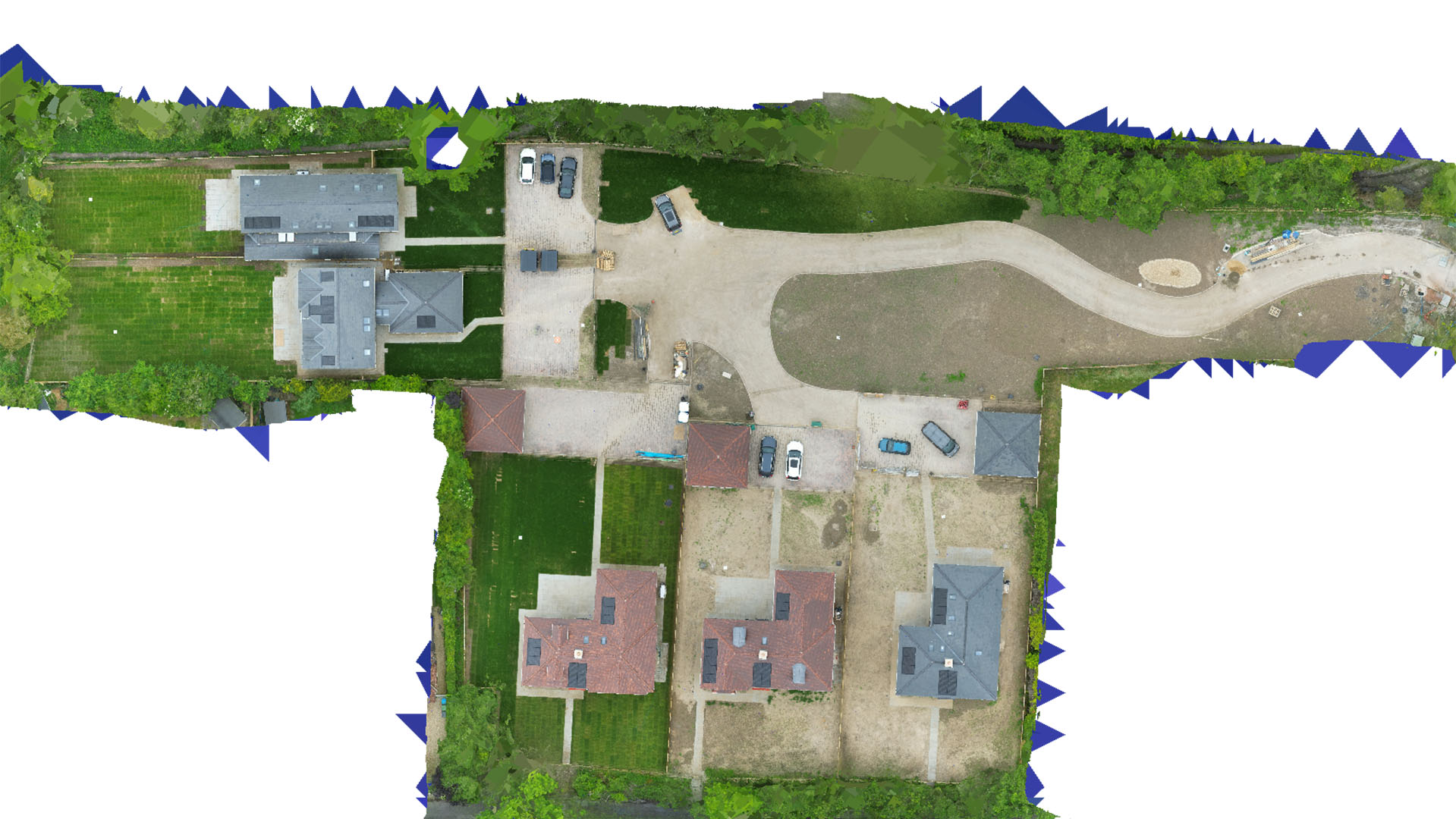
Drone Mapping and Surveying in the West Midlands
Transform your projects with high-precision drone data across the West Midlands' diverse landscapes and industries.
Professional Drone Mapping Solutions
Carrot Drone Services brings advanced drone capabilities to the West Midlands, providing key data for sectors ranging from construction to environmental management.
Key Applications of Our Services
Our drone services in the West Midlands are tailored to support a variety of critical needs:
- Construction Site Analysis: Use drone surveys to monitor construction progress, assess site conditions, and manage resources efficiently.
- Infrastructure Development: Detailed aerial surveys facilitate planning and development of infrastructure projects, ensuring accuracy in complex urban environments.
- Environmental Monitoring: Obtain essential data on land use and environmental conditions, crucial for sustainable planning and compliance with environmental regulations.
- Real Estate and Commercial Development: Provide stakeholders with comprehensive aerial imagery, improving decision-making in real estate investments and development projects.
- Historical and Archaeological Sites: Safely document and monitor historical locations with minimal disruption, preserving West Midlands' rich heritage.
Why Choose Carrot Drone Services?
Our commitment to using cutting-edge technology and providing detailed, reliable results makes Carrot Drone Services the preferred provider for drone mapping and surveying in the West Midlands. We understand the specific challenges and opportunities of the region and deliver solutions that drive project success.
Contact Us
To learn more about our tailored drone solutions for the West Midlands or to discuss your project needs, please contact us or call us at +44 3333 034874.