Read Time 5 mins
04/06/2024

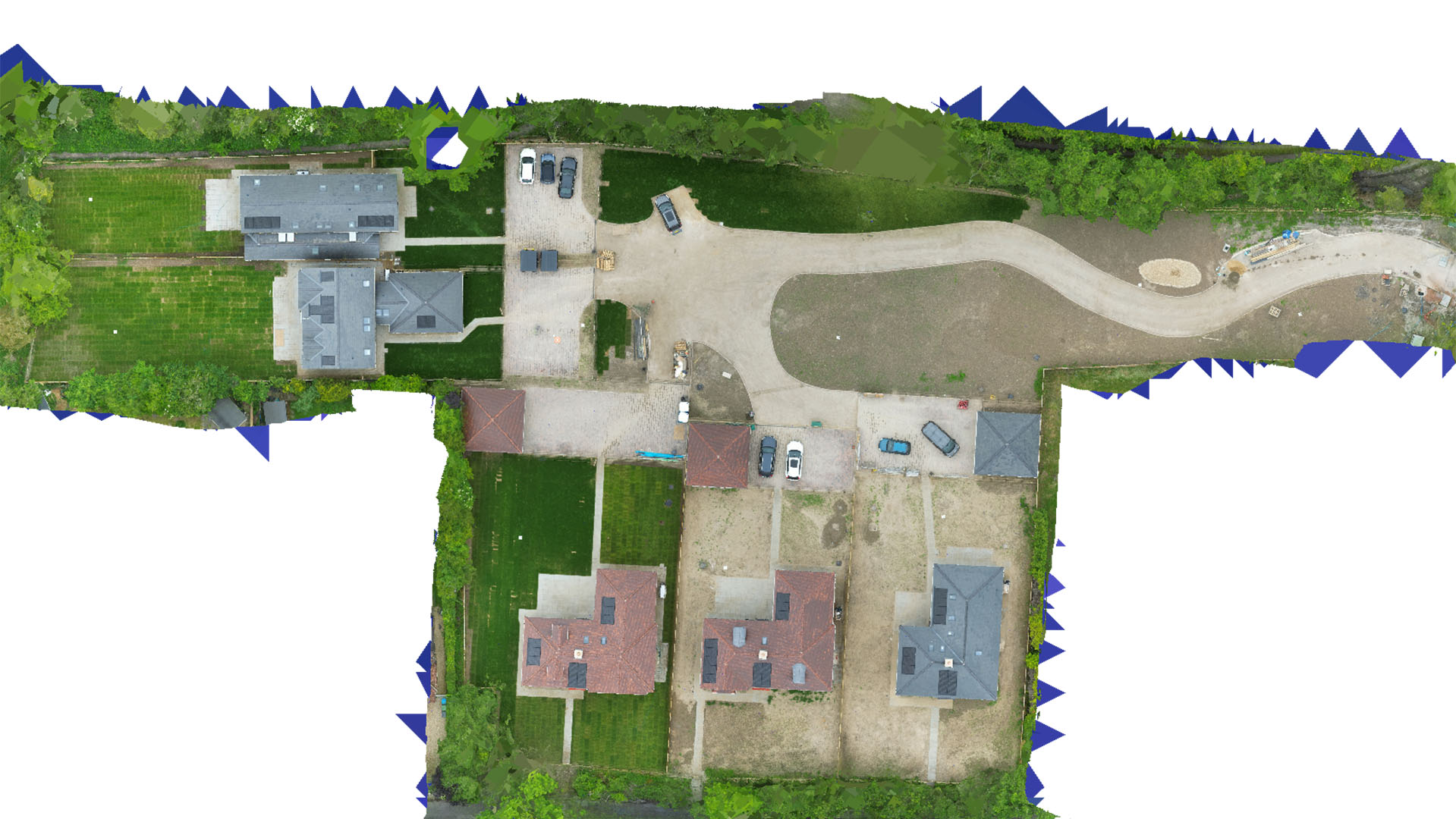
Drone Mapping and Surveying in the East Midlands
Unlock the potential of your projects with precision aerial data collected by advanced drone technology in the East Midlands.
Regional Expertise in Drone Surveying
Carrot Drone Services utilizes state-of-the-art drone technology to offer specialized mapping and surveying services across the East Midlands. Our services are designed to support a wide range of sectors, enhancing project efficiency and accuracy.
Applications of Drone Mapping in the East Midlands
Our drone technology supports diverse applications, essential for the development and maintenance of the region:
- Construction and Development: Detailed site surveys aid in planning and monitoring construction projects, ensuring they stay on track and within budget.
- Agricultural Management: Perform crop health assessments and land management studies to boost productivity and sustainability in farming practices.
- Environmental Conservation: Map environmental areas to aid in conservation efforts, track changes, and plan ecological projects effectively.
- Historical and Archaeological Documentation: Document and preserve historical sites with high-resolution imagery, aiding archaeological teams and heritage management.
- Infrastructure Planning: Survey infrastructure such as roads, bridges, and utilities to assist in maintenance and development planning.
Choose Carrot Drone Services for Precision
With our detailed approach and commitment to delivering high-quality results, Carrot Drone Services is the preferred choice for drone mapping and surveying in the East Midlands. We understand the regional nuances and provide tailored solutions to meet your project's specific needs.
Get in Touch
Discover how our drone services can enhance your projects in the East Midlands. For more information or to schedule a consultation, please contact us or call us at +44 3333 034874.