Read Time 5 mins
04/06/2024
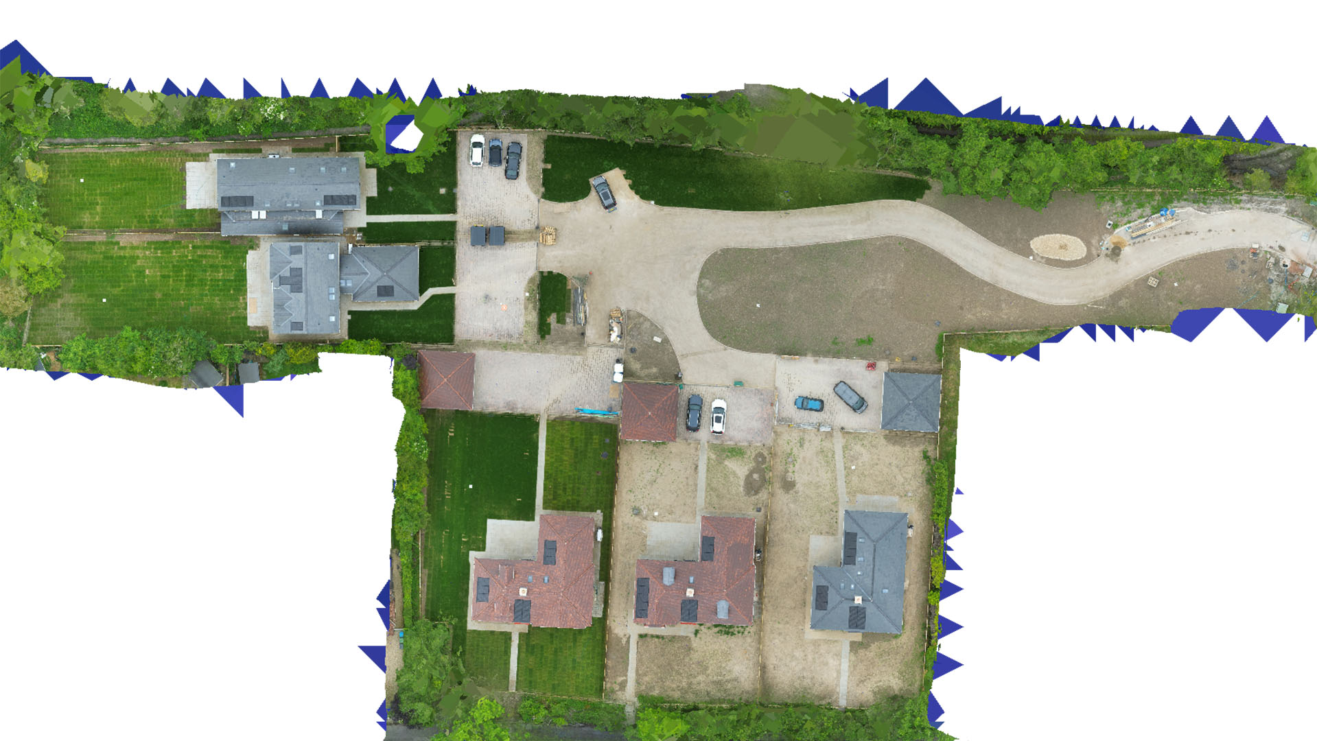
Drone Mapping and Surveying in London
Deliver precise and efficient survey data with cutting-edge drone technology tailored for London's dynamic urban landscape.
Urban Drone Surveying Expertise
Carrot Drone Services provides comprehensive mapping solutions that address the complex challenges of London's urban environment. Our services facilitate effective planning and development for a variety of sectors.
Key Applications of Our Drone Services in London
Our tailored drone services offer vital data and insights for:
- Urban Construction Projects: Aerial surveys provide critical data for site planning, logistics, and monitoring, helping to navigate the constraints of urban construction.
- Real Estate Market Analysis: Enhance real estate assessments and marketing with detailed aerial imagery, giving a competitive edge in London's bustling property market.
- Environmental Monitoring: Conduct environmental assessments and monitor urban green spaces to support sustainable development initiatives.
- Infrastructure Planning: Map and analyze existing infrastructure to assist in the planning and upgrading of utilities and transportation networks.
- Historical Preservation: Document and monitor historical sites with non-invasive surveying technology, ensuring preservation while allowing for urban development.
Why Choose Carrot Drone Services?
Our expertise in urban drone surveying makes us the ideal choice for projects that require precision and innovation. We understand the intricacies of London's landscape and provide solutions that are not only effective but also economically viable.
Contact Us
Explore how Carrot Drone Services can transform your projects in London. For more information or to discuss your specific requirements, please contact us or call us at +44 3333 034874.