Read Time 5 mins
05/06/2024

Drone Mapping and Surveying in Welwyn Garden City
Enhance your projects with Carrot Drone Services, providing advanced drone mapping and surveying tailored for the unique urban and environmental context of Welwyn Garden City.
Dedicated Drone Services for Welwyn Garden City
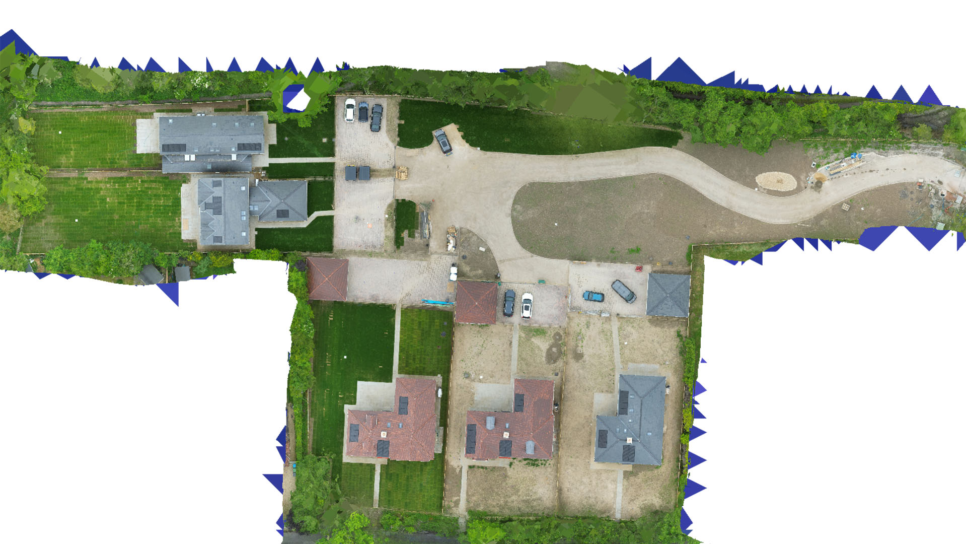
Carrot Drone Services offers specialised drone mapping and surveying services to meet the diverse needs of Welwyn Garden City, from urban development projects to the preservation of green spaces and historical sites.
Key Applications of Our Drone Services
Our precision drone solutions serve a variety of essential functions:
- Urban Planning and Development: Provide vital data for city planning and development projects, helping to manage growth while maintaining the city’s unique garden city ethos.
- Historical Preservation: Non-invasively document and monitor historical architectures and landscapes, aiding preservation efforts without disrupting the natural or built environment.
- Environmental Conservation: Monitor environmental changes and manage conservation projects effectively with detailed aerial imagery and data.
- Commercial Real Estate: Supply developers and investors with accurate surveying information for property analysis and strategic development.
- Public Safety and Event Management: Enhance public safety and efficiently manage events through comprehensive aerial surveillance and planning.
Why Choose Carrot Drone Services in Welwyn Garden City?
Our commitment to leveraging the latest drone technology combined with our deep understanding of Welwyn Garden City’s planning and environmental regulations makes us the perfect partner for your projects. We ensure all operations are conducted with precision and respect for the local community and environment.
Contact Us
To see how our drone services can be integrated into your projects in Welwyn Garden City, please contact us or call us at +44 3333 034874.