Read Time 5 mins
05/06/2024
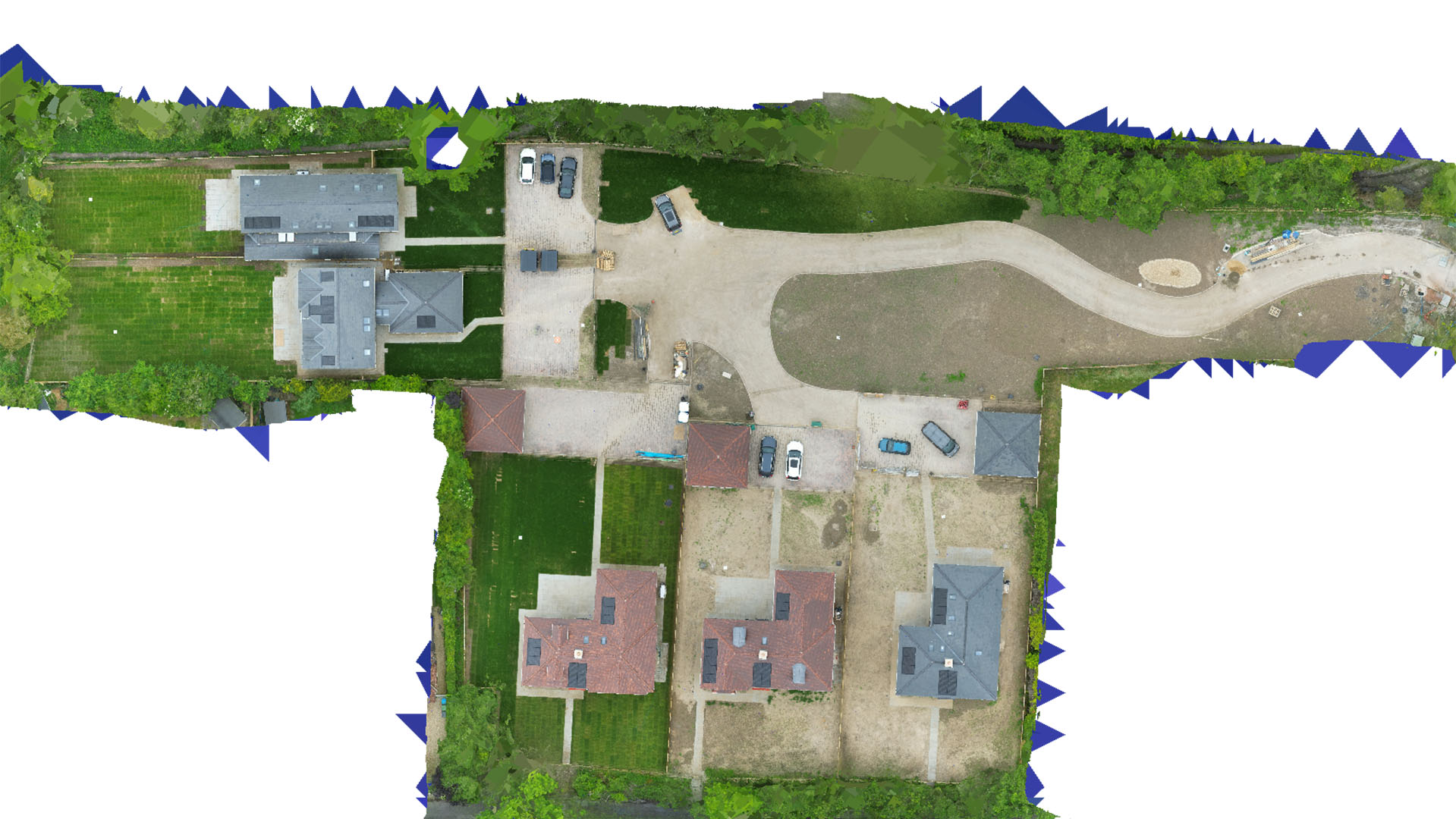
Drone Mapping and Surveying in Stevenage
Carrot Drone Services provides tailored drone mapping and surveying solutions in Stevenage, enhancing local industries with precision aerial insights.
Tailored Drone Solutions for Stevenage
In Stevenage, Carrot Drone Services offers bespoke mapping and surveying services designed to support local industries such as manufacturing, construction, and public planning.
Key Applications of Our Services in Stevenage
Our dedicated drone operations deliver vital data for:
- Manufacturing Facility Expansions: Detailed site surveys support the expansion and optimisation of manufacturing facilities, aiding layout planning and construction oversight.
- Commercial Construction Monitoring: Real-time drone surveillance ensures construction milestones are met and helps manage large-scale commercial projects effectively.
- Urban Development: Advanced aerial surveys inform urban planners in designing more efficient public infrastructure and transport systems.
- Environmental Impact Assessments: Evaluate the impact of new developments on local ecosystems, ensuring sustainable growth and compliance with environmental standards.
- Public Safety and Emergency Planning: Utilise aerial data to enhance public safety measures, including emergency response strategies and event security planning.
Why Carrot Drone Services in Stevenage?
Our focus on cutting-edge technology and localised service delivery makes us a leader in drone mapping and surveying in Stevenage. We understand the unique challenges faced by our clients and provide tailored solutions to meet these needs.
Contact Us
To see how our drone services can be integrated into your projects in Stevenage, please contact us or call us at +44 3333 034874.