Read Time 5 mins
05/06/2024
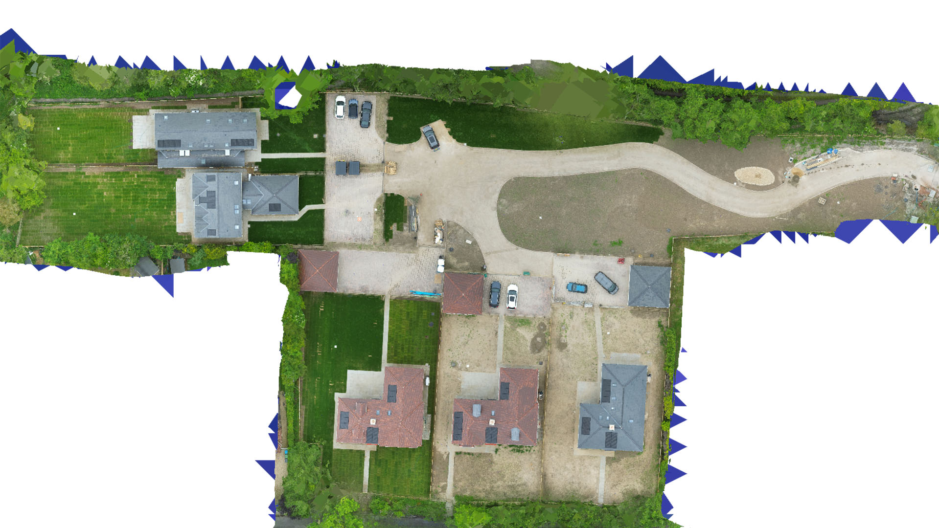
Drone Mapping and Surveying in Hertford
Carrot Drone Services delivers bespoke aerial mapping and surveying solutions across Hertford, enhancing local projects with high precision and efficiency.
Customised Drone Services for Hertford
In Hertford, our drone services are specifically designed to meet the unique demands of the area, from agricultural assessments to urban development and historical preservation.
Applications of Our Drone Services
Our drone services in Hertford support a variety of applications:
- Agricultural Monitoring: Provide farmers and landowners with detailed data on crop health, irrigation needs, and land management.
- Urban Planning: Assist local authorities with precise data for urban development, zoning decisions, and infrastructure planning.
- Historical Conservation: Help preserve Hertford’s heritage by documenting and monitoring historical sites and structures with non-invasive aerial technology.
- Environmental Studies: Collect data on local ecosystems to aid environmental conservation efforts and comply with regulatory requirements.
- Commercial Real Estate: Offer developers and real estate agents aerial imagery and topographical data to aid in property evaluation and marketing.
Why Choose Carrot Drone Services in Hertford?
Carrot Drone Services is dedicated to providing the highest quality drone surveying and mapping services in Hertford. Our commitment to advanced technology and customer satisfaction makes us the preferred choice for local and regional projects.
Contact Us
To discover how our drone services can be tailored to your needs in Hertford, please contact us or call us at +44 3333 034874.