Read Time 5 mins
05/06/2024
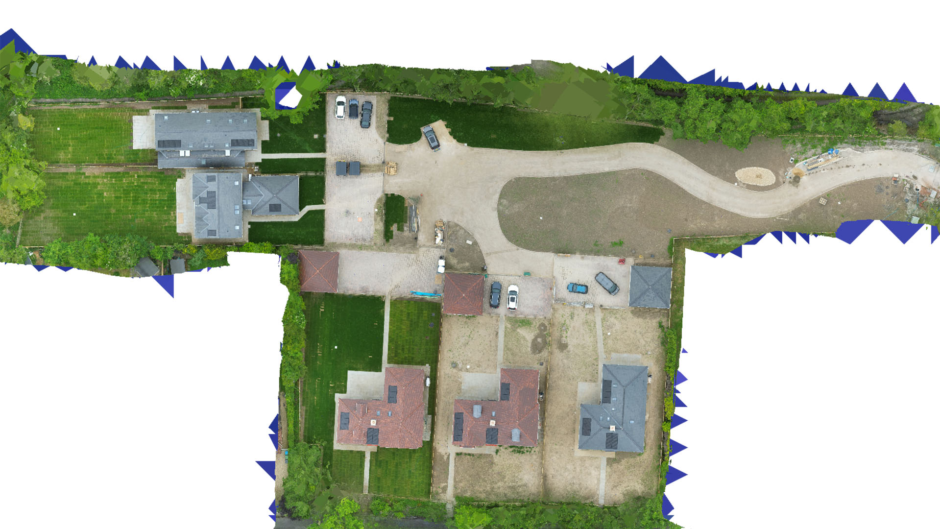
Drone Mapping and Surveying in Hemel Hempstead
Enhance your projects in Hemel Hempstead with Carrot Drone Services, providing bespoke aerial surveying and mapping solutions tailored to the unique needs of the local sectors.
Bespoke Drone Services in Hemel Hempstead
Carrot Drone Services specializes in delivering customised drone-based mapping and surveying solutions in Hemel Hempstead, supporting sectors from local government planning to private sector development and environmental conservation.
Applications of Our Drone Services
Our precision drone technology supports diverse applications, critical for the development and sustainability of Hemel Hempstead:
- Local Government Planning: Provide detailed aerial views to assist with urban planning, land use management, and public works development.
- Residential and Commercial Development: Support developers with drone surveys that offer vital data for site selection, project planning, and marketing presentations.
- Environmental Monitoring: Gather data on local wildlife habitats, water bodies, and green spaces to assist with ecological studies and conservation efforts.
- Historical Site Mapping: Document and monitor the condition of historical sites in Hemel Hempstead with non-invasive aerial technology.
- Event Planning and Security: Use drones to plan public events, enhance security measures, and manage crowd control effectively.
Why Choose Carrot Drone Services?
With our commitment to technology and tailored service, Carrot Drone Services stands as the premier provider of drone mapping and surveying in Hemel Hempstead. We are dedicated to supporting local projects with high-quality, actionable aerial data.
Contact Us
To explore how our drone services can benefit your projects in Hemel Hempstead, please contact us or call us at +44 3333 034874.