Read Time 5 mins
05/06/2024

Drone Mapping and Surveying in Broxbourne
Carrot Drone Services provides advanced aerial mapping and surveying solutions in Broxbourne, tailored to support local development, conservation, and infrastructure projects with precision and innovation.
Specialised Drone Services for Broxbourne
In Broxbourne, Carrot Drone Services offers customised solutions that cater to the diverse needs of urban and rural development, from new housing projects to public utility upgrades.
Applications of Our Drone Services
Our drone technology offers essential support for various local projects:
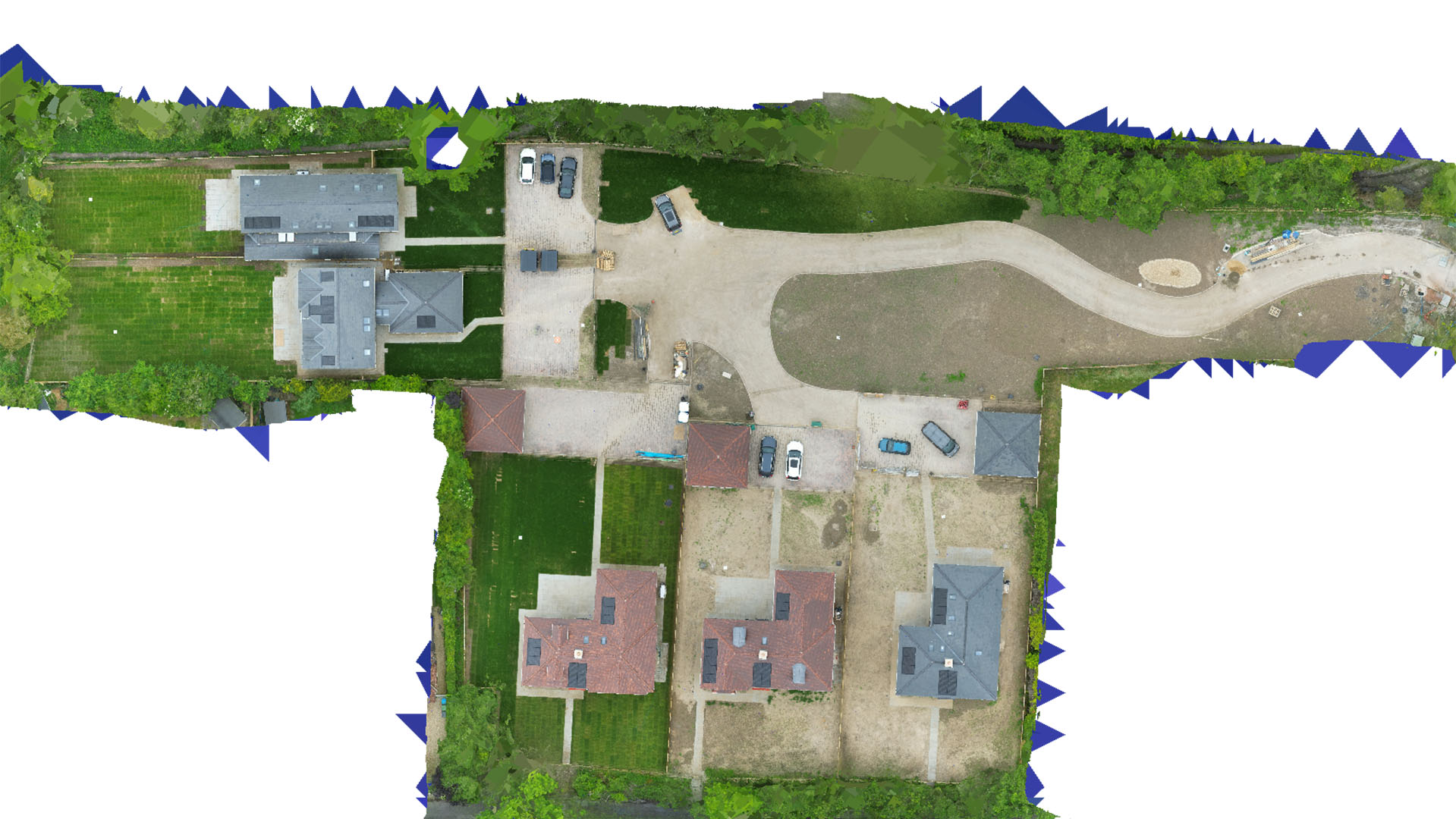
- Residential Development: Facilitate detailed planning and monitoring for new residential areas with comprehensive aerial surveys, ensuring projects meet their planned scope and environmental regulations.
- Infrastructure Analysis: Assist local government and contractors in the assessment and renovation of existing infrastructure, including roads, bridges, and water management systems.
- Environmental Conservation: Conduct detailed environmental assessments to monitor the impact of development on local ecosystems and help plan sustainable conservation strategies.
- Commercial Real Estate: Provide developers and investors with detailed topographical data and imagery to aid in property evaluation and marketing strategies.
- Public Safety and Event Management: Enhance safety and operational planning for public events and emergencies through accurate aerial data and imaging.
Why Choose Carrot Drone Services in Broxbourne?
Our expertise in leveraging cutting-edge drone technology makes us the ideal partner for projects requiring precision mapping and surveying in Broxbourne. We are committed to delivering reliable, actionable data that helps our clients achieve their development and conservation goals.
Contact Us
Learn more about how our services can benefit your projects in Broxbourne. For further information or to schedule a consultation, please contact us or call us at +44 3333 034874.