Read Time 5 mins
06/06/2024
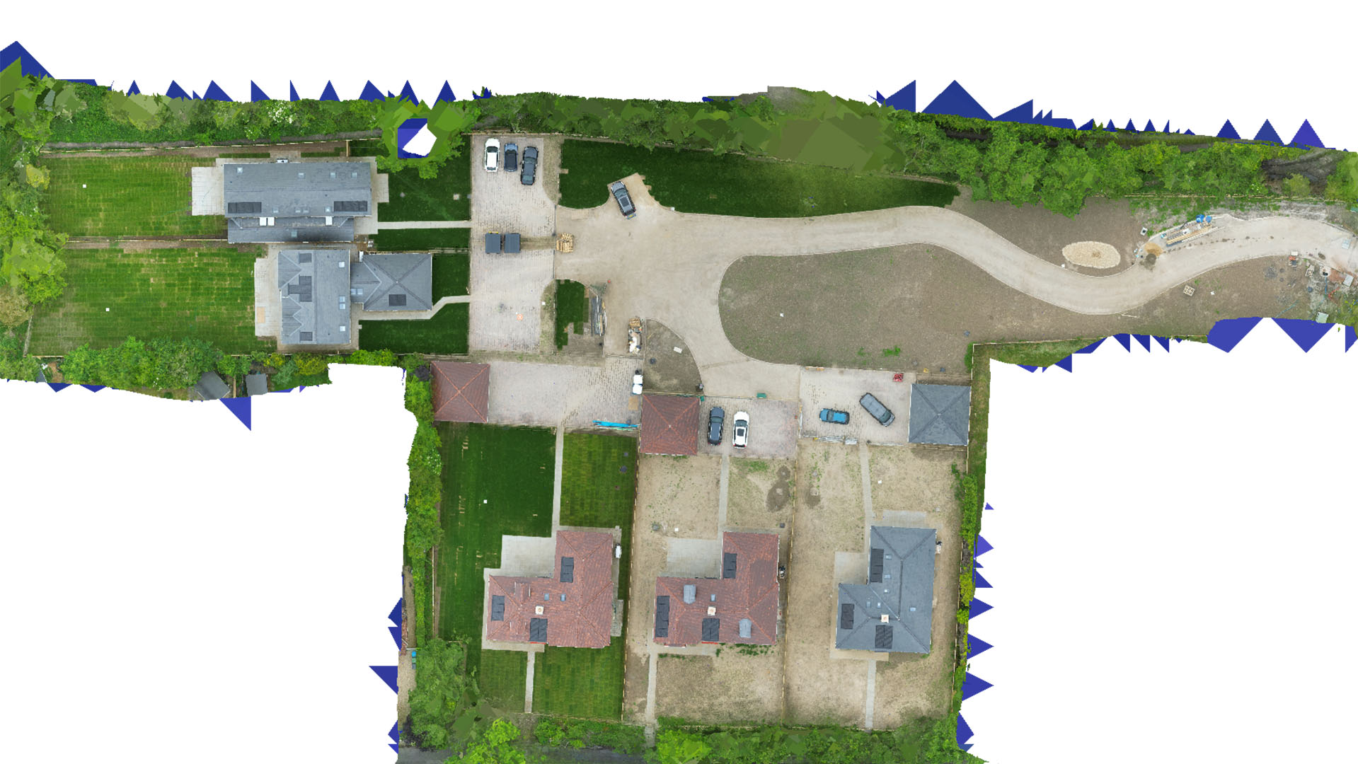
Drone Mapping and Surveying in Harlow
Carrot Drone Services provides state-of-the-art drone mapping and surveying solutions in Harlow, tailored to enhance city planning, infrastructure projects, and environmental conservation efforts.
Comprehensive Drone Services for Harlow
In Harlow, our drone technology plays a pivotal role in supporting a wide range of projects, from major urban developments to detailed environmental studies.
Applications of Our Drone Services
Our drones deliver essential data for numerous critical applications:
- Urban Development: Facilitate urban planning and real estate development with detailed aerial surveys that help manage and optimize land use.
- Infrastructure Planning: Provide precise mapping data for infrastructure improvements, including roadways, bridges, and public utilities, ensuring projects are completed efficiently and effectively.
- Environmental Conservation: Conduct in-depth surveys of natural habitats and conservation areas to aid in the protection and management of Harlow's green spaces.
- Commercial Real Estate: Enhance property evaluations and marketing with high-resolution aerial imagery, giving a unique perspective to developers and investors.
- Public Safety and Emergency Services: Assist local authorities in planning and managing public safety operations, including emergency response and event security.
Why Choose Carrot Drone Services in Harlow?
Our commitment to excellence and innovation makes Carrot Drone Services a leader in drone technology for Harlow. We understand the unique challenges of the area and deliver solutions that are both effective and sustainable.
Contact Us
Discover the benefits of advanced drone mapping and surveying for your projects in Harlow. For more information or to schedule a consultation, please contact us or call us at +44 3333 034874.