Read Time 5 mins
04/06/2024
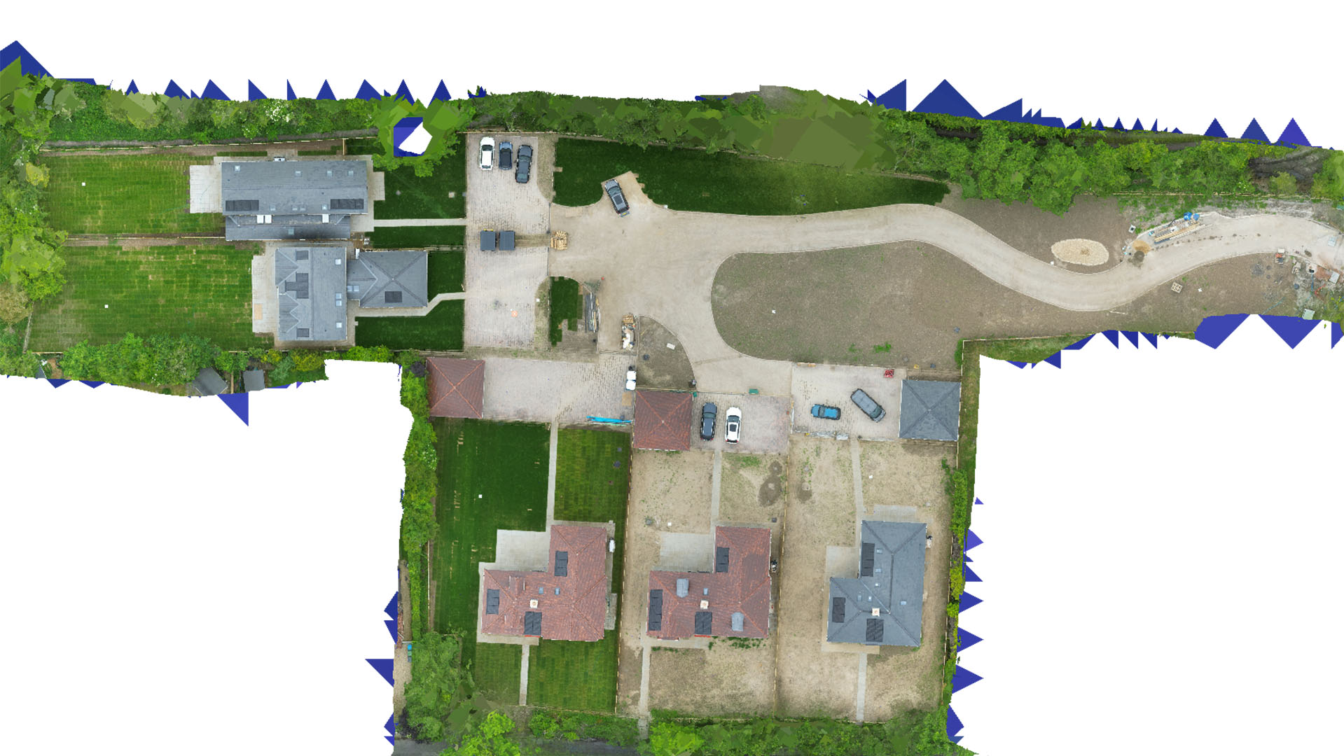
Drone Mapping and Surveying in Essex
Delivering precise topographical data for effective decision-making across various sectors in Essex.
Advanced Mapping for Diverse Applications
In Essex, Carrot Drone Services leverages advanced drone technology to provide detailed topographical maps and survey data. These services are crucial for multiple applications, enhancing efficiency and accuracy in planning and management.
Diverse Applications of Our Services
Our drone mapping and surveying services are used across various fields:
- Construction Site Planning: Utilize aerial surveys for precise cut and fill calculations, crucial for estimating project requirements and costs.
- Agricultural Surveys: Monitor crop health, optimize planting strategies, and manage resources more effectively with detailed aerial imagery.
- Environmental Conservation: Support conservation projects with data on habitat areas, track changes over time, and plan interventions.
- Boundary and Legal Disputes: Clarify property boundaries with accurate surveys, essential for resolving disputes and planning developments.
- Urban and Rural Planning: Aid governmental and private sector planning with comprehensive data on land use and topography.
Choose Carrot Drone Services for Your Essex Projects
With a commitment to quality and precision, Carrot Drone Services is your trusted partner in Essex for all drone surveying and mapping needs. We provide the insights needed to propel your projects forward with confidence.
Contact Us
To learn more about how our services can be tailored to your project needs in Essex, please contact us or call us at +44 3333 034874.