Read Time 5 mins
06/06/2024

Drone Mapping and Surveying in Braintree
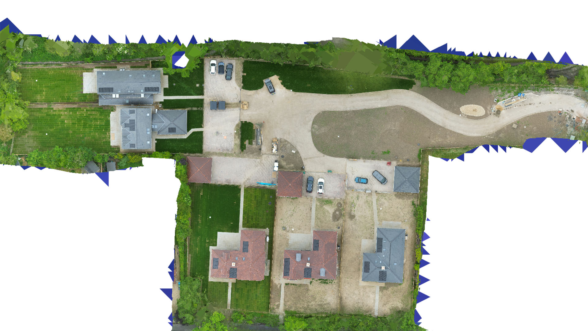
Carrot Drone Services provides innovative drone mapping and surveying solutions in Braintree, enhancing local agricultural practices, urban development, and heritage conservation with high-resolution aerial data.
Customised Drone Solutions for Braintree
Our services in Braintree are designed to meet the specific demands of the region, supporting a variety of sectors with precision and care.
Applications of Our Drone Services
Carrot Drone Services uses advanced drone technology for diverse applications:
- Agricultural Monitoring: Provide local farmers with detailed crop health analyses and land management data, helping to optimize agricultural outputs and resource management.
- Urban and Rural Planning: Assist in planning and development projects with detailed surveys that help manage Braintree’s growth while preserving its rural character.
- Historical Site Documentation: Support heritage conservation efforts with non-invasive mapping of historical sites, aiding in their preservation and study without physical impact.
- Environmental Conservation: Monitor and assess local wildlife habitats and conservation areas, providing data essential for environmental sustainability efforts.
- Commercial Real Estate Development: Offer detailed topographical and imaging services to real estate developers, enhancing property assessments and development planning.
Why Choose Carrot Drone Services in Braintree?
Our commitment to using the latest technology and providing custom solutions makes us the preferred provider for drone mapping and surveying in Braintree. We understand the local challenges and opportunities and tailor our services to meet your specific needs.
Contact Us
To learn how our drone services can enhance your projects in Braintree, please contact us or call us at +44 3333 034874.