Read Time 5 mins
06/10/2023

Introduction
Real-Time Kinematic (RTK) is an extraordinary positioning technology that utilises advanced satellite-based systems for exceptional navigation and data collection capabilities. Unlike the more traditional GPS methods, RTK offers accuracy down to the centimetre, making it invaluable for a multitude of industries. The technology involves the use of fixed base stations and mobile rovers that enhance the original satellite signals, thereby providing more accurate and reliable data. This article aims to explore RTK's applications in agriculture, drone technology, autonomous vehicles, and more.
Applications of RTK
Agriculture
RTK has had a revolutionary impact on modern agriculture. With centimetre-level precision, it supports advanced tractor guidance systems, and helps in the application of pesticides and fertilisers. This not only reduces operational costs but also minimises environmental degradation.
Construction and Land Surveying
In the construction industry, RTK is indispensable for ensuring the accurate and efficient placement of structures. Land surveyors have significantly benefited from RTK's capability to deliver high-quality and precise measurements.
Drone Technology
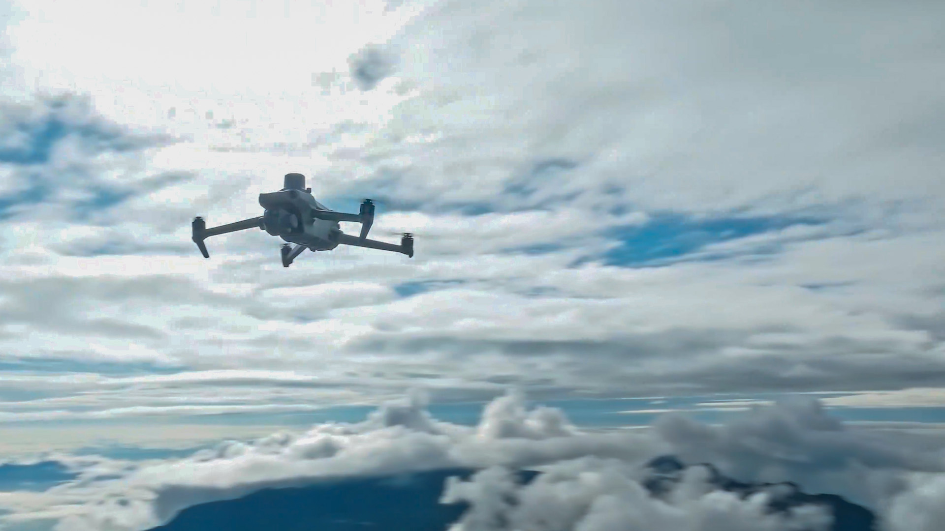
Drones fitted with RTK are increasingly becoming the standard for professional-grade operations, especially in surveying, mapping, and inspections. For businesses like Carrot Drone Services, which provide top-notch drone photography, videography, and mapping services, RTK can be a game-changer.
Autonomous Vehicles
RTK is fundamentally changing the game in the development of autonomous vehicles. By offering centimetre-level precision, it provides the safety and reliability needed to navigate complex urban and off-road terrains.
Other Applications
RTK is not limited to terrestrial applications; its uses extend to maritime navigation and are instrumental in environmental monitoring and scientific research. Sectors like geophysics, seismology, and meteorology are increasingly adopting RTK for more accurate data collection and analysis.
Challenges and Limitations
Despite its manifold applications, RTK does come with its set of challenges. One significant hurdle is its reliance on reference stations, which are necessary for the technology to offer precise positioning. Other challenges include signal obstructions from natural and man-made obstacles, as well as the high setup costs and technical expertise required to maintain the system.
The Future of RTK
There is considerable excitement surrounding the future of RTK. Ongoing research aims to mitigate the current limitations and increase its usability and applications. Technologies like 5G and IoT are expected to play a significant role in enhancing RTK systems, making them faster and more reliable.
Conclusion
In summary, RTK technology is a revolutionary development in the field of positioning systems. Its high level of accuracy is proving to be transformative across industries, from agriculture to drones and beyond. Despite facing certain challenges, the technology is continuously evolving, promising a brighter and more efficient future for data collection and navigation systems.
Contact Carrot Drone Services to learn how RTK can benefit your drone mapping and photography needs.
