Read Time 5 mins
05/06/2024
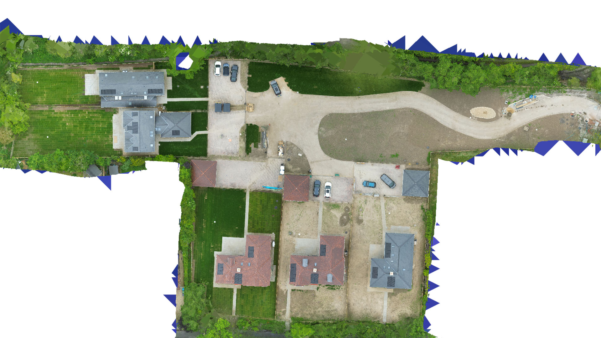
Drone Mapping and Surveying in Watford
Leading-edge drone solutions providing detailed topographical and survey data tailored to Watford’s development and environmental monitoring needs.
Specialised Mapping Services for Watford
Carrot Drone Services utilises advanced drone technology to deliver precise mapping and surveying solutions in Watford. Our expertise supports a variety of sectors, including construction, urban planning, and environmental conservation.
Applications of Our Drone Services in Watford
Our drone mapping services are essential for a range of applications:
- Urban Development and Planning: Enhance urban planning efforts with accurate aerial data that informs infrastructure projects and city development strategies.
- Construction Site Monitoring: Provide critical insights into construction progress and site conditions, helping to maintain adherence to safety and design standards.
- Environmental Monitoring: Gather detailed environmental data to aid in the protection and management of natural areas within and around Watford.
- Real Estate Analysis: Offer estate agents and property developers detailed surveys that enhance property evaluations and marketing strategies.
- Public Safety and Event Management: Assist local authorities in managing public events and safety operations through comprehensive aerial surveillance.
Why Choose Carrot Drone Services in Watford?
Our commitment to employing the latest drone technologies and delivering high-quality results ensures that Carrot Drone Services is the go-to provider for professional aerial surveying in Watford.
Contact Us
Explore how our drone services can impact your projects in Watford. For more information or to discuss your specific needs, please contact us or call us at +44 3333 034874.